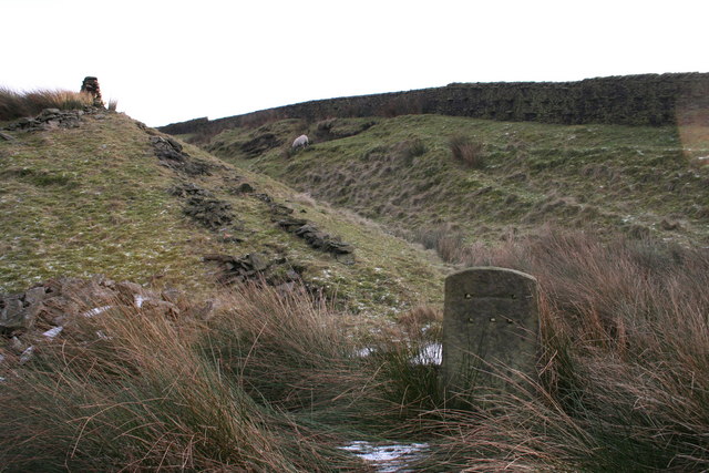
Gambleside is an abandoned village located in northern Rossendale close to the boundary with Burnley's Dunnockshaw parish. In the late Middle Ages Gambleside was one of the cow farms (vaccary) of Rossendale Forest, belonging to the Honour of Clitheroe. In 1507 the land was demised as a copyhold to Oliver and George Ormerode at a rent of £4 per year. Historically the Gambleside area stretched from Limy Water southeast over the hills into the valley of Whitewell Brook, including land on the southern side of Clough Bottom Reservoir. It formed part of the township of Higher Booths in the ancient parish of Whalley, which became a civil parish in 1866. In 1894, with the creation of Rawtenstall Municipal Borough this part of Higher Booths was incorporated into it. The settlement was located on a limersgate, a pathway used by pack horses carrying lime, which linked Clitheroe to Rochdale. Gambleside Colliery was established in 1612 and was worked for over 300 years until 1936. It had two main shafts, a winding shaft on the hillside and Pumping Pit. The population began to decline after the building of the Clowbridge Reservoir in 1866, which restricted farming in the village. The Ormerod Family continued to live there until about 1874, with the village abandoned during the 1890s.

Nearby Places View Menu
Location Image
820 m

Dunnockshaw

Dunnockshaw or Dunnockshaw and Clowbridge is a civil parish in the borough of Burnley, in Lancashire, England. The parish is situated between Burnley and Rawtenstall. According to the United Kingdom Census 2011, the parish had a population of 185. It contains the hamlets of Clowbridge and Dunnockshaw, both located on the A682 road. Clowbridge Reservoir is situated in the east of parish on the boundary with Rossendale. The reservoir, operated by United Utilities, is used as a location for water sports. It was built in 1866 resulting in the de-population of the village of Gambleside. The parish adjoins the Burnley parishes of Hapton and Habergham Eaves and the Gambleside and Loveclough areas of the Borough of Rossendale.
Location Image
1.9 km

Loveclough

Loveclough is a small hamlet at the edge of the Rossendale Valley, in Lancashire, England, near Crawshawbooth and Rawtenstall, 20 miles north of Manchester, 21 miles east of Preston, and 44 miles south east of Lancaster.
Location Image
2.1 km

Habergham Eaves

Habergham Eaves is a civil parish in the borough of Burnley, in Lancashire, England. The parish consists of a rural area south of Burnley, and suburban areas on the outskirts of the town, including a large industrial estate in the north-west corner of the parish. Habergham is also the name of an area west of Burnley, although it is no longer within the parish. According to the United Kingdom Census 2011, the parish has a population of 1,466. The A646 Padiham to Todmorden road runs approximately along the northern boundary of the parish. Surrounding areas include the unparished areas of Burnley and Rossendale, and the parishes of Hapton, Dunnockshaw and Cliviger.
Location Image
2.4 km

Water, Lancashire

Water is a hamlet in the borough of Rossendale, in Lancashire, England. Located north of the village of Lumb. It is mostly made of a few homes, farms, a bistro called "The Water Trough", a primary school and industrial estates. In 2020 it had an estimated population of 835.