


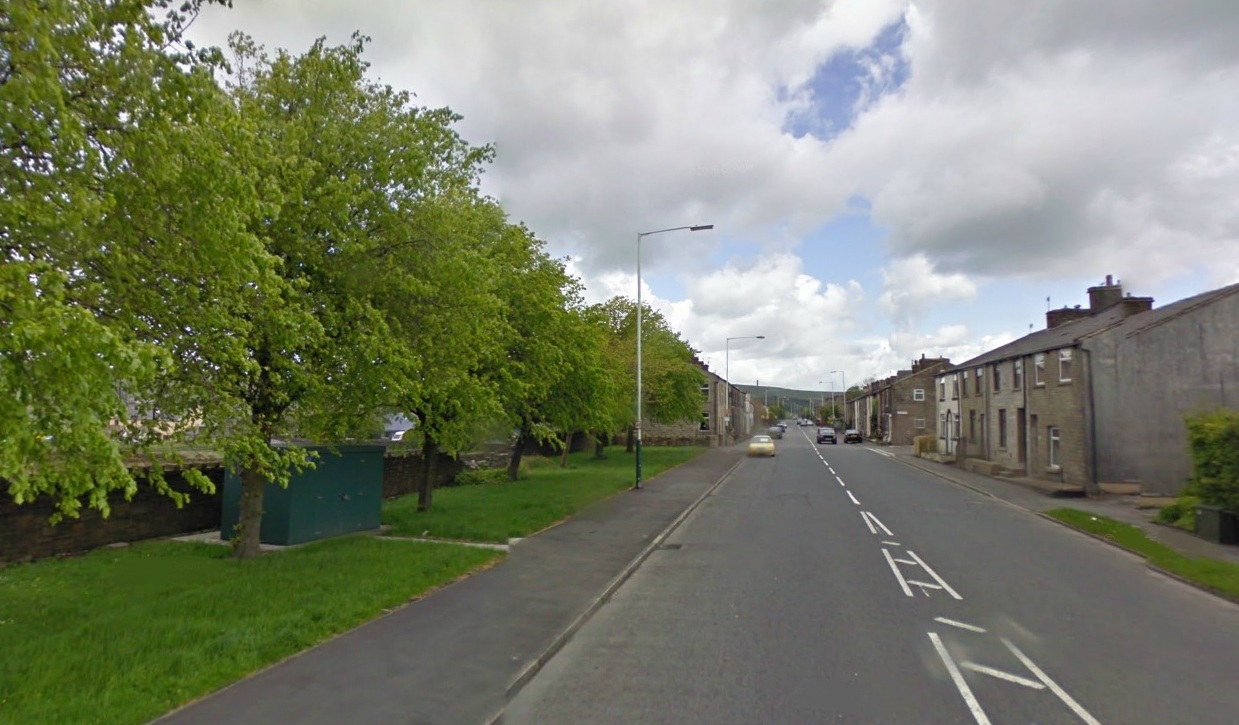
Loveclough is a small hamlet at the edge of the Rossendale Valley, in Lancashire, England, near Crawshawbooth and Rawtenstall, 20 miles north of Manchester, 21 miles east of Preston, and 44 miles south east of Lancaster.
Book your tour near
Loveclough
Book Now
4.3
in partnership with
GetYourGuide.com
Gallery


Sponsored
Location
1 explorer visited this place

1.3 km
Dunnockshaw or Dunnockshaw and Clowbridge is a civil parish in the borough of Burnley, in Lancashire, England. The parish is situated between Burnley and Rawtenstall. According to the United Kingdom Census 2011, the parish had a population of 185.
It contains the hamlets of Clowbridge and Dunnockshaw, both located on the A682 road. Clowbridge Reservoir is situated in the east of parish on the boundary with Rossendale. The reservoir, operated by United Utilities, is used as a location for water sports. It was built in 1866 resulting in the de-population of the village of Gambleside.
The parish adjoins the Burnley parishes of Hapton and Habergham Eaves and the Gambleside and Loveclough areas of the Borough of Rossendale.

1.3 km
Goodshaw is a hamlet situated on the edge of the Pennine hills in England, located just north of the market town of Rawtenstall in Lancashire. To the south, it is adjacent to the village of Crawshawbooth, with Rawtenstall located further south. It is also a ward of Rossendale, where the population taken at the 2011 census was 4,033.

1.9 km
Crawshawbooth is a small village located on the edge of the Pennines in England, just north of the market town of Rawtenstall, Lancashire, and south of Loveclough. It is situated in the Rossendale Valley, which was once an ancient royal hunting ground. The majority of the surrounding land consists of farms and moorland.

1.9 km
Gambleside is an abandoned village located in northern Rossendale close to the boundary with Burnley's Dunnockshaw parish.
In the late Middle Ages Gambleside was one of the cow farms of Rossendale Forest, belonging to the Honour of Clitheroe. In 1507 the land was demised as a copyhold to Oliver and George Ormerode at a rent of £4 per year.
Historically the Gambleside area stretched from Limy Water southeast over the hills into the valley of Whitewell Brook, including land on the southern side of Clough Bottom Reservoir. It formed part of the township of Higher Booths in the ancient parish of Whalley, which became a civil parish in 1866. In 1894, with the creation of Rawtenstall Municipal Borough this part of Higher Booths was incorporated into it.
The settlement was located on a limersgate, a pathway used by pack horses carrying lime, which linked Clitheroe to Rochdale.
Gambleside Colliery was established in 1612 and was worked for over 300 years until 1936. It had two main shafts, a winding shaft on the hillside and Pumping Pit.
The population began to decline after the building of the Clowbridge Reservoir in 1866, which restricted farming in the village. The Ormerod Family continued to live there until about 1874, with the village abandoned during the 1890s.

2.1 km
St John the Evangelist's Church is in the village of Crawshawbooth, near Rawtenstall, Lancashire, England. It is a redundant Anglican parish church formerly in the deanery of Rossendale, the archdeaconry of Bolton, and the diocese of Manchester. Its benefice has been united with that of St Mary and All Saints, Goodshaw. The church is recorded in the National Heritage List for England as a designated Grade II* listed building.
Governance
Loveclough is part of the Rossendale and Darwen parliamentary constituency and the Borough of Rossendale.
Geography and tourism
On the edge of the Pennines, various wildlife can be seen in the area, as well as lakes and rivers, such as the Limy Water, a tributary of the River Irwell which it joins in Rawtenstall.
Transport
Loveclough is served by the X43 Witch Way bus service to Rawtenstall, Burnley and Manchester.
Book your tour near
Loveclough
Book Now
4.3
in partnership with
GetYourGuide.com