


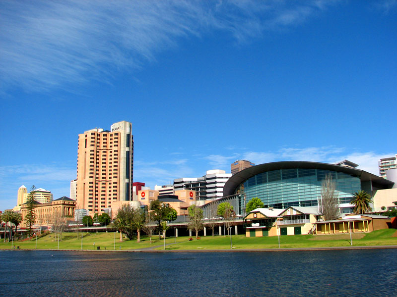
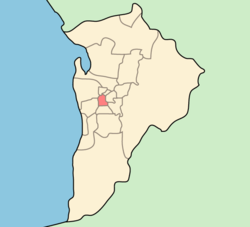
Unley Park is a southern suburb of Adelaide in the City of Unley. Its postcode is 5061. It is located on the north side of Cross Road and east of the Belair railway line. Access via public transport is from the Unley Park railway station, Millswood railway station and the Unley Road "Go Zone".


Localisation
1 explorateur a visité ce lieu


A feature of the district is leafy Victoria Avenue—Adelaide's wealthiest street, containing many large and luxurious houses built between the two World Wars. Politically, the suburb is very safe for the Liberal Party, and is located in the Division of Adelaide. At the 2025 federal election landslide, the Liberals won just two of the 400+ metropolitan election-day booths across the seven Adelaide-based seats — Myrtle Bank in the Division of Sturt, and Unley Park in the Division of Adelaide.
History
Unley Park Post Office opened on 2 January 1946 and closed in 1999. Two historic private schools were located on Thornber Street, Unley Park: Kyre College (which was the nucleus of Scotch College) at number 4, and Mrs. Thornber's School, later associated with Tormore House School, at number 39. Both were dissolved early in the 20th century.
See also
Heywood Park
