


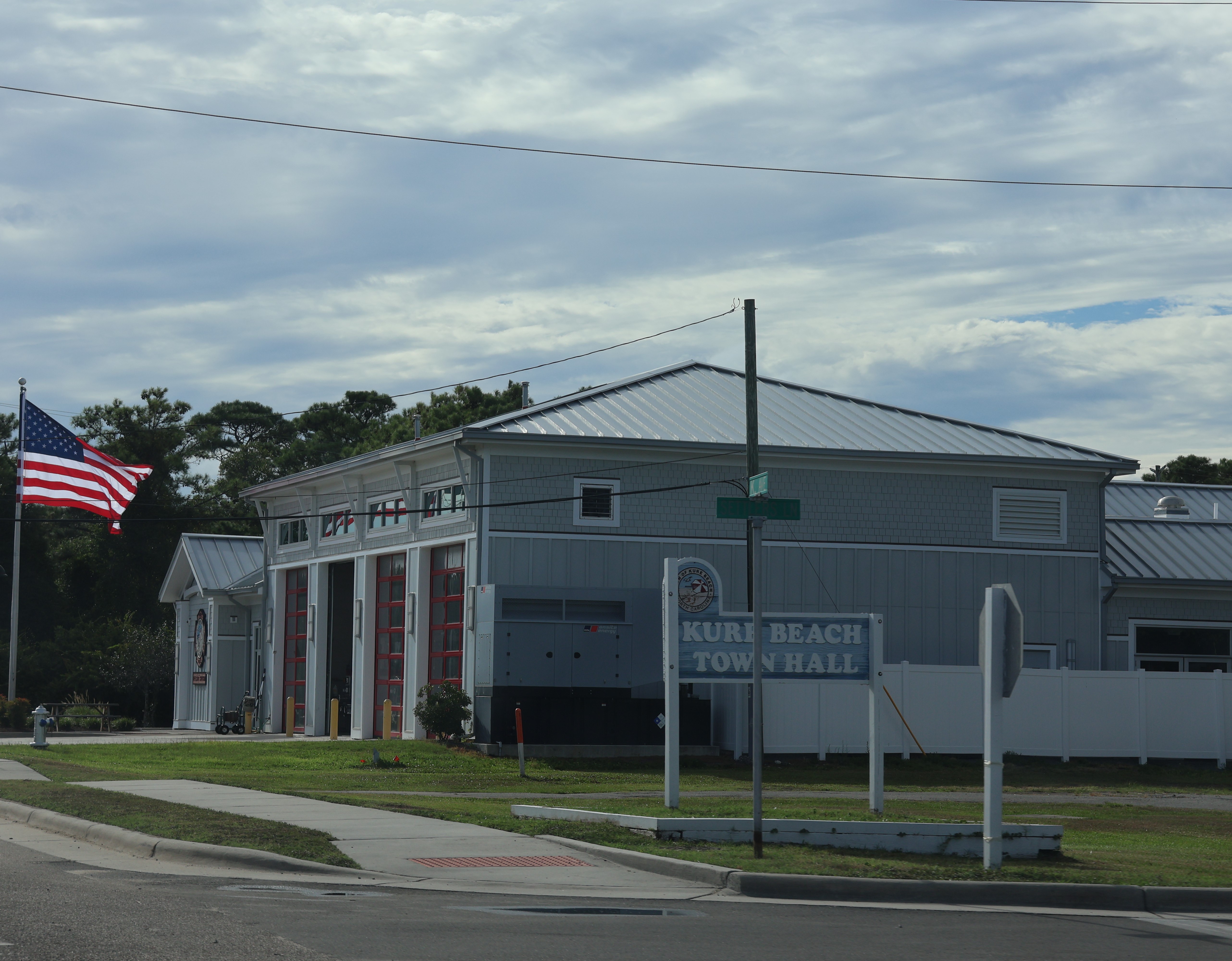
Kure Beach ( KURE-ee) is a town in New Hanover County, North Carolina, United States, approximately 15 miles south of Wilmington. It is part of the Wilmington Metropolitan Statistical Area. The population was 2,191 at the 2020 census. It is found on Pleasure Island directly south of the Wilmington Beach annex of Carolina Beach and just north of Fort Fisher.
Location
1 explorer visited this place
957 m
Federal Point Township, North Carolina, is a statistical township consisting all of Carolina Beach, Kure Beach, and Sea Breeze. Federal Point Township also includes part of Silver Lake and Myrtle Grove. Federal Point Township is located in New Hanover County, North, Carolina.

2.2 km
The Newton Homesite and Cemetery are a remnant of the earliest settlement of the outer coast of North Carolina near Carolina Beach. The site is located southwest of Carolina Beach off Dow Road South, adjacent to the Federal Point Methodist Cemetery. It includes a small cemetery of its own, and the archaeological remains of an early homestead, dating to the early 18th century, and that of an early 19th-century homestead.
The site was listed on the National Register of Historic Places in 1997.

2.2 km
Pleasure Island is a coastal barrier island in Southeastern North Carolina, United States, just south of the City of Wilmington. Pleasure Island is located within Federal Point Township, in New Hanover County. The coastal resort towns of Carolina Beach and Kure Beach, as well as the annexed communities of Wilmington Beach and Hanby Beach are located on the island. The southern end of Pleasure Island was separated from Bald Head Island by Corncake Inlet until the inlet was shoaled and closed in 1998 by Hurricane Bonnie; thus Pleasure Island and Bald Head Island are no longer separate islands.
The combined island now stretches from Carolina Beach Inlet in the north, the Cape Fear River to the west, Onslow Bay to the east and Long Bay to the south. It is 17 miles long, 2 miles wide in the far north, 3 miles wide at the far south and about ½ mile wide in the middle. On the southeastern tip of the combined island lies "the point", or headland, known as Cape Fear. The shallow and treacherous Frying Pan Shoals jut 30 miles into the Atlantic Ocean southeasterly from the point. The shoal is formed by the intersection of the longshore currents of Onslow Bay and Long Bay as well as the discharge from the Cape Fear River.
Pleasure Island refers to the northern half of the combined island and Bald Head Island refers to the southern half of the combined island.
Prior to the 1931 completion of a man-made canal called Snows Cut, the land that now forms Pleasure Island was part of a peninsula known as Federal Point, a long narrow strip of sandy ground that stretched from Myrtle Grove to Fort Fisher. The Federal Point Light once stood at southern end of the peninsula at the edge of New Inlet.
U.S. Highway 421 provides the only bridge access to Pleasure Island. A ferry at the southern terminus of Route 421 at Fort Fisher connects Pleasure Island to Southport, NC at. A separate ferry from Southport brings travelers and supplies to Bald Head Island to the south. There are no roads between the two halves of the combined island, but park ranger vehicles, fat-tire bike riders and pedestrians can traverse the beach strand to make the connection as needed.
Pleasure Island is home to an unusual 11-acre fresh water lake that was once the headwater of Myrtle Grove Sound. It is spring fed and less than 200 yards from the salty waters of the Atlantic Ocean. The lake was formerly known as "The Freshwater Lake" but is now called "Carolina Beach Lake".
The name "Pleasure Island" was the product of a marketing effort by the local Chambers of Commerce back in 1972. They thought Pleasure Island was a positive way to refer to the coastal resources of the area.
Pleasure Island is now part of a 20-mile, unbroken strand of sandy beach stretching from Carolina Beach Inlet, 7 miles south to New Hanover/Brunswick County line, 10 more miles south to the Cape and then 3 miles west to the mouth of the Cape Fear River.

2.4 km
Wilmington Beach was a coastal unincorporated community on Pleasure Island in North Carolina, United States that was annexed by the town of Carolina Beach in 2000. Prior to the annexation, the small community was a buffer between Carolina Beach and Kure Beach. U.S. Highway 421 and Ocean Boulevard are the major roads through the area. Its name is derived from Wilmington, which lies approximately ten miles to the north. The annexed area consists almost entirely of residential housing.

3.2 km
The First Battle of Fort Fisher was a naval siege in the American Civil War, when the Union tried to capture the fort guarding Wilmington, North Carolina, the South's last major Atlantic port. Led by Major General Benjamin Butler, it lasted from December 24–27, 1864.
The Union navy first attempted to detonate a ship filled with powder in order to demolish the fort's walls but this failed; the navy then launched a two-day bombardment in order to demolish the fort and compel surrender. On the second day, the Union army started landing troops in order to begin the siege. But Butler got news of enemy reinforcements approaching, and in the worsening weather conditions, he aborted the operation, declaring the fort to be impregnable. To his embarrassment, Butler was relieved of command on January 8, 1865, and was replaced by Major General Alfred H. Terry, who led a follow-up expedition that captured the fort one week later.
The town is less than 1 square mile (2.6 km2) in area, stretching along about 3.5 miles (5.6 km) of coastline along Pleasure Island, and a maximum width of less than 0.5 miles (0.80 km), in most places only a few hundred yard/meters wide.
