


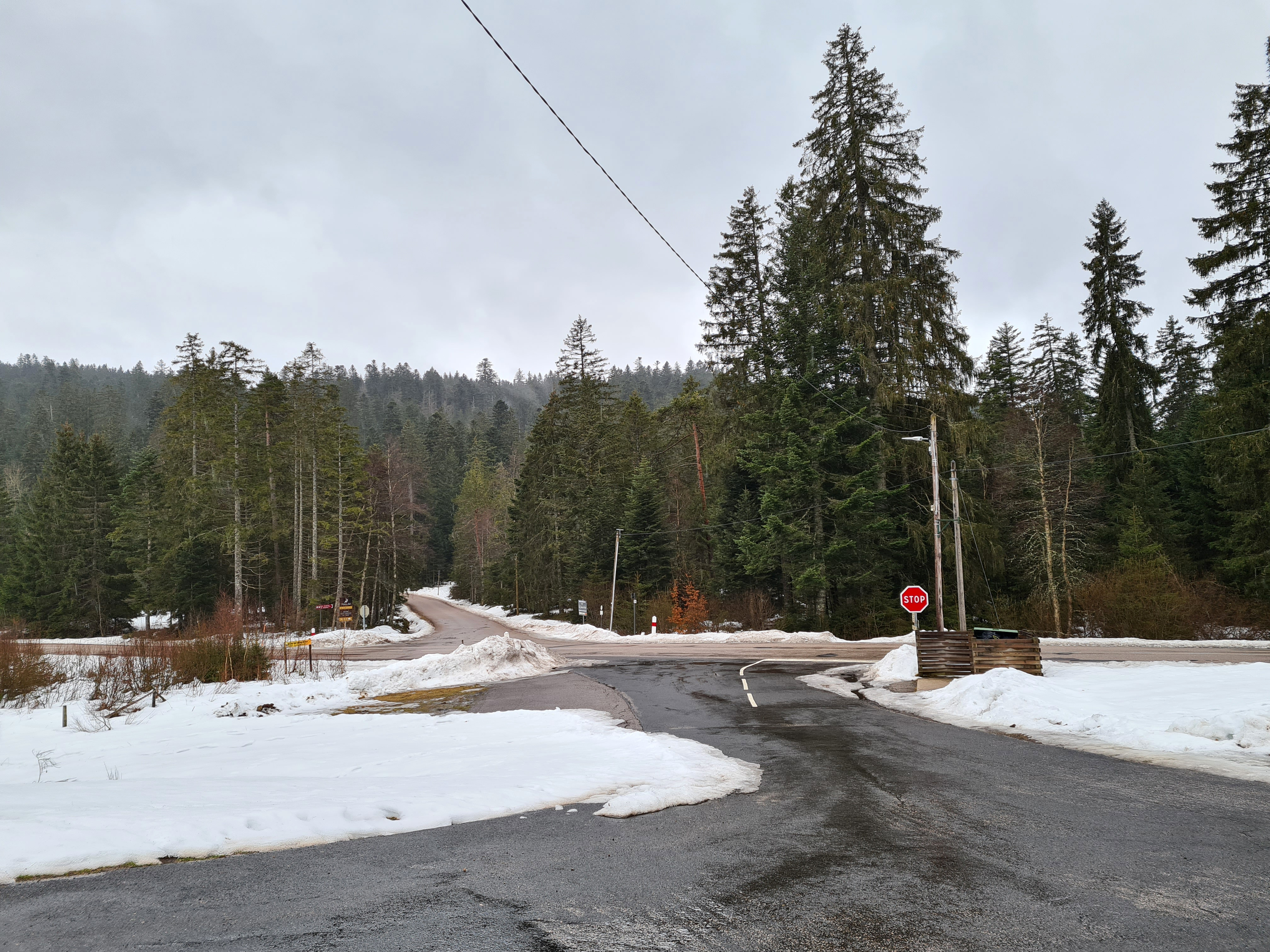
Le col du Surceneux est un col routier du massif des Vosges situé à 810 m d'altitude et qui relie la commune de Ban-sur-Meurthe-Clefcy à Xonrupt-Longemer. Le col commence par l’ascension du défilé de Straiture par la route départementale 23.
Location
1 explorer visited this place

2.6 km
Xonrupt-Longemer is a commune in the Vosges department in Grand Est in northeastern France.
2.9 km
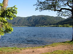
Lac de Longemer is a lake near Xonrupt-Longemer, in Vosges, France. At an elevation of 736 m, its surface area is 0.76 km2.

4.8 km
Lac de Retournemer is a lake in Xonrupt, Vosges, France. At an elevation of 776 m, its surface area is 0.05 km2. It has an area of 5 hectares, or about 12.3 acres.

5.0 km
Lac de Lispach is a lake in the commune of La Bresse, Vosges department, France. At an elevation of 909 m in the Vosges mountains, its surface area is 0.12 km2.

6.1 km
The Col de la Schlucht) is a mountain pass in the Vosges Mountains of France. On the west side lies the historical region of Lorraine, on the east side lies the historical region of Alsace.
The pass takes its name from the German word "Schlucht", meaning "gorge" or "ravine". It connects Munster with Gérardmer and is also crossed by the Route des Crêtes.
Near the Col, along the Route des Crêtes is the source of the Meurthe.
The climb over the pass has been used several times in the Tour de France cycle race.
Book your tour near
Col du Surceneux
Book Now
4.3
in partnership with
GetYourGuide.com