


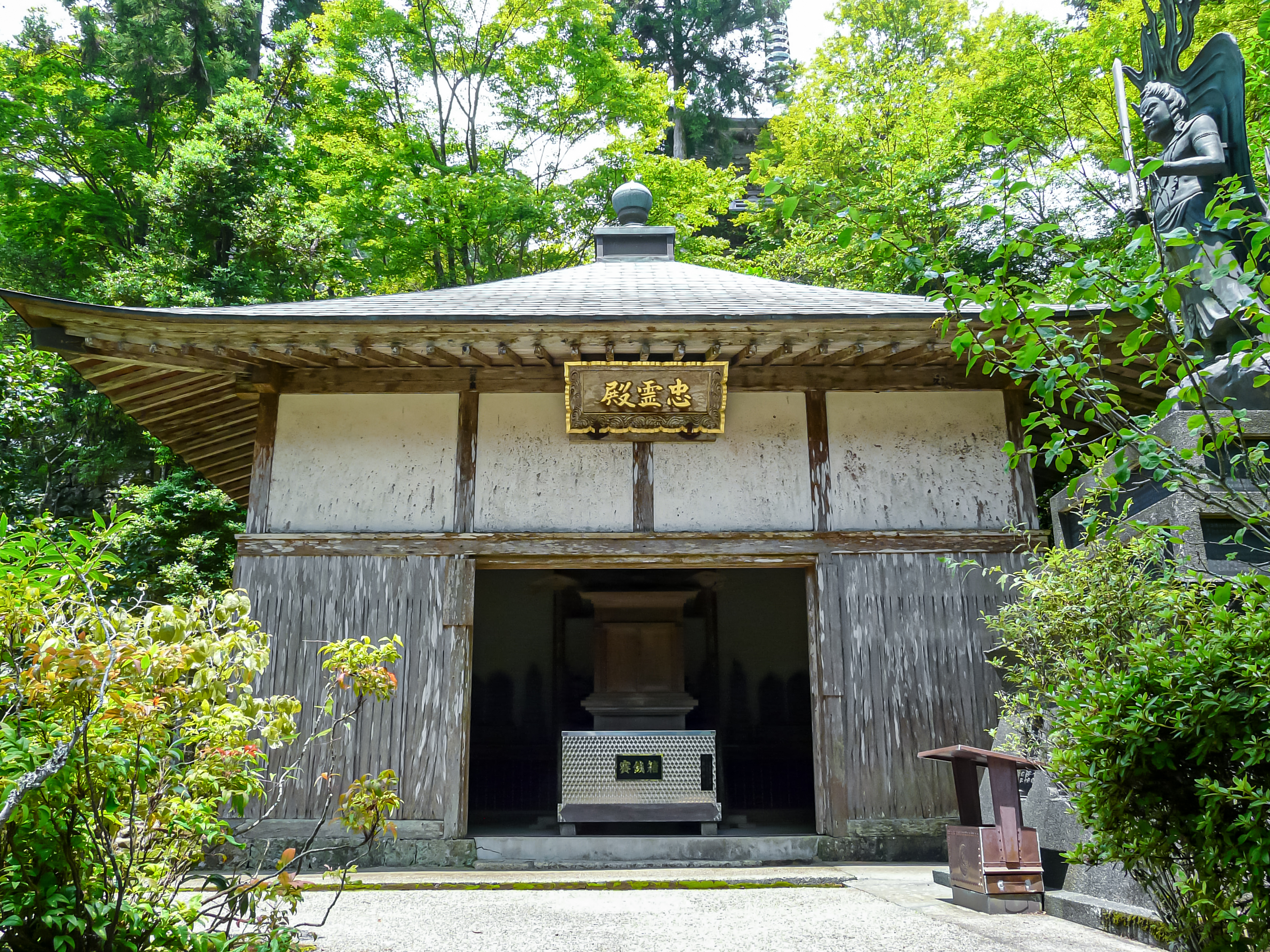
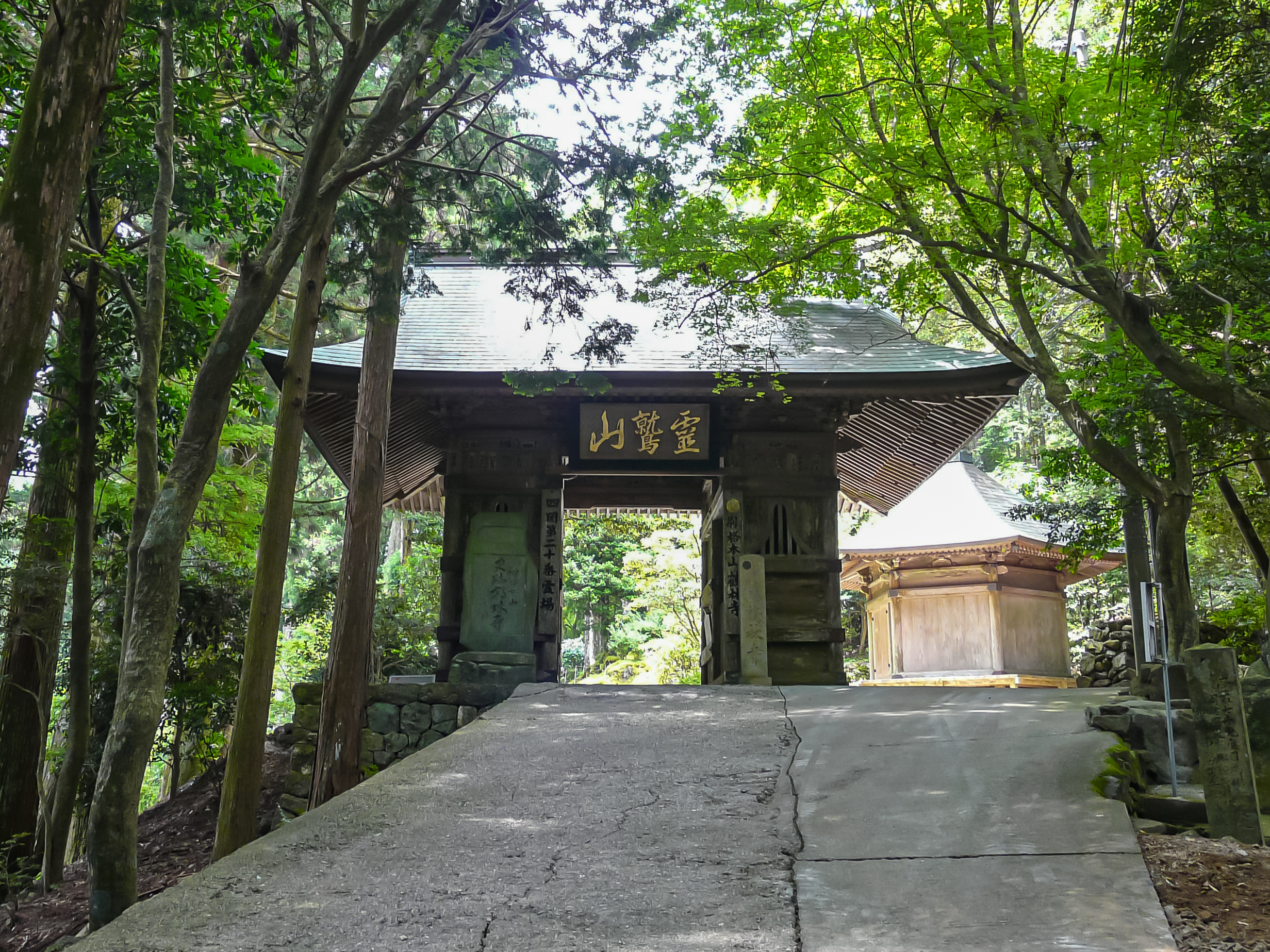
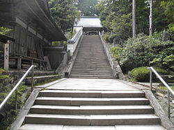
Kakurin-ji (Japanese: 鶴林寺) is a Kōyasan Shingon temple in Katsura, Tokushima Prefecture, Japan. It is Temple #20 on the Shikoku 88 temple pilgrimage. The main image is of Jizō Bosatsu.
Gallery


Sponsored
Location

5.9 km
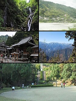
Myōdō is a district located in Tokushima Prefecture, Japan.
As of June 1, 2019, the district has an estimated population of 2,144 and a density of 49.8 inhabitants per square kilometer. The total area is 42.28 km2.
6.9 km
Sanagōchi is a village located in Myōdō District, Tokushima Prefecture, Japan. As of 30 June 2022, the village had an estimated population of 1983 and a population density of 47 persons per km².The total area of the village is 42.28 square kilometres. Sanagōchi is the only village remaining in Tokushima Prefecture.
7.2 km
Higashi Sankei Prefectural Natural Park is a Prefectural Natural Park in Tokushima Prefecture, Japan. Established in 2005, the park spans the borders of the municipalities of Kamiyama, Katsuura, Naka, Sanagōchi, and Tokushima. The park encompasses Mount Nakatsumine and the Hata Five Falls as well as the temples of Kakurin-ji and Tairyū-ji, temples 20 and 21 on the Shikoku pilgrimage.

8.0 km
Katsuura is a town located in Katsuura District, Tokushima Prefecture, Japan. As of 30 June 2022, the town had an estimated population of 4,884 in 2159 households and a population density of 70 persons per km². The total area of the town is 69.85 square kilometres.
8.0 km
Kamiyama is a town in Myōzai District, Tokushima Prefecture, Japan. As of 30 June 2022, the town had an estimated population of 4,930 in 2404 households and a population density of 28 persons per km2. The total area of the town is 173.305 square kilometres.