


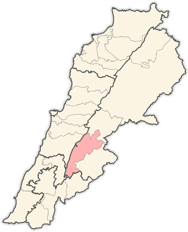
Sultan Yacoub (Sultan Yakoub, Sultan Yaakov) (Arabic: سطان يعقوب) is a Lebanese village in the West Beqaa District, about seven kilometers (four miles) from the border with Syria.
Gallery


Sponsored
Location
1 explorer visited this place

2.5 km
Manara, also known as Hammara, is a municipality in the West Beqaa district of the Beqaa Governorate in eastern Lebanon. It is located approximately 65 kilometers east of the capital Beirut. Its average elevation is 1,160 meters above sea level and its jurisdiction covers 1,413 hectares. Its inhabitants are Sunni Muslims.

3.2 km
The Battle of Sultan Yacoub was a battle between Syria and Israel during the 1982 Lebanon War, which occurred near the village of Sultan Yacoub in the Lebanese Bekaa, close to the borders with Syria.
4.3 km
Ghazzeh is a city located in the Western Beta District of the Beqaa Governorate in Lebanon. Its population is around 70,000 citizens and 22,000 Syrian refugees. It is known for its emmigration to South American countries.
4.3 km
Aita el-Foukhar is a village in Lebanon, located in the Bekaa Valley in the Rashaya District of Lebanon A small village of narrow streets and humble houses, Aita is surrounded by high mountains on three sides, reaching 1,400 metres above sea level at some points. The village itself is almost 1,250 metres above sea level.
Aita is exemplary for toleration and acceptance as lived day to day through the mixed religious background of its inhabitants. Throughout the whole civil war, no single accident was recorded and this is all due to the mutual love and affection of its residents. As it is with many Lebanese towns, its mosques embrace the churches and similarly its residents where they stand by each other at every occasion.
The village name combines the Syriac words aitha, meaning temple, and foukhar, meaning pottery. Together they refer to a pottery production center.
The mountain to the north of the village is steep and not useful for agriculture. To the east and south, the mountains have gentle slopes, and terraces are formed to use the land for agriculture. People cultivate several products including wheat, mulberries, cherries, figs, apples, grapes and olives.
Water sources are available mainly from springs such as Ain el-Arish. Until the present, the inhabitants of the village partially depended on this spring as a source of water. Water and a pleasant climate would have been attractive reasons for the settlement of the village in the early A.C. periods.
Many of Aita el-Foukhar's residents have left for bigger cities in Lebanon while some still live in Aita. Others have emigrated to North and South America, Australia, Africa, Middle East, Europe, and many other places in the world.
Between 1975 and 1990, only minor developments were recorded due to the unstableness of the circumstances. In 1998 the first municipality council was elected and a major development on the infrastructure was started.
A new sewage system was installed as a part of regional West Bekaa and Rachaya districts Network. As for the drinking water system, a new well was dug with a capacity of 3 inches per minute, and a public water tank was built on a higher location to feed the 200 houses of the village with drinking water.
A huge water filter was installed as well after the tank to ensure a clean water to the inhabitants of Aita.
A new network of 6 miles of water tubes was installed to deliver the drinking water to houses.
6.4 km
Sawiri is a town in the eastern part of Lebanon.
Mayor is Mohamed Hamze Smiley Arabic: الرئيس محمد حمزه الصميلي
Vice Mayor Mahmoud Mohammed Janbien Arabic: الرئيس محمود محمد جانبين
Sawiri is located in the West Bekaa District near the Syrian border, in the governorate of Beqaa in the foothills of the eastern mountains. It is 1100 above sea level in a rugged area with many small valleys
Book your tour near
Sultan Yacoub
Book Now
4.2
in partnership with
GetYourGuide.com