


Utoy Cemetery is one of the oldest cemeteries within the current city limits of Atlanta in the U.S. state of Georgia and is listed on the National Register of Historic Places. Located near the intersection of Venetian Drive SW and Cahaba Drive SW in the Venetian Hills neighborhood in southwest Atlanta, it was used for burials as early as 1828.
Gallery

Sponsored
Location
1 explorer visited this place
1.0 km
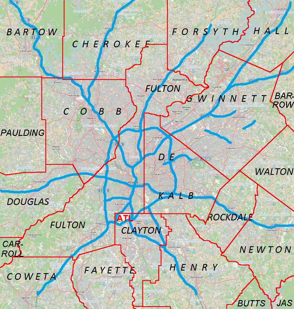
Venetian Hills is an official neighborhood in southwest Atlanta, in the U.S. state of Georgia. Its 2010 population was 3,790. The neighborhood was established in the late 1950s.
It is bordered:
on the north by Cascade Avenue/Road SW, Avon Avenue SW, and the Bush Mountain neighborhood
on the north and east by Epworth St. and the Oakland City neighborhood
on the south and east by Fort McPherson
on the south by Campbellton Road and the neighborhoods of Pomona Park and Campbellton Road
on the west by Centra Villa Drive SW and the Adams Park neighborhood
1.1 km
Greenwood Cemetery is located at 1173 Cascade Circle SW, Atlanta, Fulton County, Georgia, United States.

1.4 km
Cascade Heights is an affluent neighborhood in southwest Atlanta. It is bisected by Cascade Road, which was known as Sandtown Road in the nineteenth century. The road follows the path of the ancient Sandtown Trail which ran from Stone Mountain to the Creek village of Sandtown on the Chattahoochee River and from there on into Alabama. Ironically, the name lived on even after the Indians were expelled in the 1830s.
After the Indian cession, settlement came quickly, and several roads in the area bear the names of early pioneers, including Willis Mill Road, Childress Drive, Herring Road, Dodson Drive, Head Road, and Sewell Road. Part of "Stone's District" in the nineteenth century, the area was dotted with small farms of white farming families, only a few of which were also home to enslaved African Americans. By the time of the Civil War there was a post office at Utoy where the Sandtown Road crossed Utoy Creek but no real community center aside from the post office, churches, and mills. Utoy Primitive Baptist Church and Mt. Gilead Methodist Church were both organized in 1824 and flourished throughout the nineteenth and into the twentieth century. In the nineteenth century, the revival camp meetings held at Mt. Gilead campground near Ben Hill from 1835 until 1989 drew thousands from all denominations in the area. Willis' Mill on the south fork of Utoy Creek and Herring's Mill on the north fork were critical for not only grinding corn and sawing lumber, but also for the chance to socialize. A cotton gin also operated on a site just west of what is now the Cascade Nature Preserve, and it also would have been a place that nearly everyone in the area used at one time or another.
In early 1864, as the prospect of invasion by the Union army became real, defensive works were built that encircled Atlanta a mile and a half or so from the city center. As the Confederate army was pushed steadily before General Sherman's army in the spring of 1864, there were frantic attempts to extend the fortifications, including one line built southwest of the city along the Sandtown Road. After the Confederate defeat at Kennesaw Mountain, the Union army's crossing of the Chattahoochee River in early July was followed by three awful battles fought later that month: the Battle of Peachtree Creek, north of the city, the so-called Battle of Atlanta on the east, and the Battle of Ezra Church on the west on July 27. During August, as Union artillery laid siege to the city, there were skirmishes all around the southwest side of the city as Sherman attempted to complete his encirclement of the city. On August 4–7, the Union and Confederate armies met at the Battle of Utoy Creek, fought in and around what is now the Cascade Nature Preserve. Union losses were put at 850, and the Confederate line held with a loss of only 35 killed, wounded, or missing.
The area remained mostly rural farmland throughout the nineteenth century, Cascade Springs was one of several sites around the city hoping to cash in on the rising middle class. Ponce de Leon Springs was the most successful perhaps, but in the springs near the old ford for the Sandtown Road over Turkeyfoot Creek was the genesis of Cascade Heights, or simply Cascade. The springs were christened "Cascade" after the three small waterfalls that spill away from the road, now in the northeast corner of the Cascade Spring Nature Preserve. A small resort developed there in the late nineteenth and early twentieth centuries. Very little remains besides an exceptionally fine spring house sheltering the original spring.
Today the term Cascade, much like the term Midtown, can refer to a much larger area than what might be shown on official maps. Generally today Cascade might be bounded by I-20 on the north, I-285 on the west, the ridges on the south side of Utoy Creek, and the pre-1954 city limits around Greenwood Cemetery. In the period between the world wars, Adams Park and Beecher Hills began to develop, and after World War II, explosive suburban growth produced Audubon Forest, Peyton Forest, West Manor, Sewell Manor, and Mangum Manor as the old farms in this part of Fulton County were subdivided and developed in the 1950s. In 1953, the area was annexed into the City of Atlanta.
1.9 km
The Battle of Utoy Creek was fought August 5–7, 1864, during the Atlanta campaign of the American Civil War. Maj. Gen. William T. Sherman's Union armies had partially encircled the city of Atlanta, Georgia, which was being held by Confederate forces under the command of General John Bell Hood. Sherman had at this point adopted a strategy of attacking the railroad lines into Atlanta, hoping to cut off his enemies' supplies. This was the third direct attack on Confederate positions during the campaign.

1.9 km
Fort McPherson was a U.S. Army military base located in Atlanta, Georgia, bordering the northern edge of the city of East Point, Georgia. It was the headquarters for the U.S. Army Installation Management Command, Southeast Region; the U.S. Army Forces Command; the U.S. Army Reserve Command; and U.S. Army Central. Situated on 487 acres and located four miles southwest of the center of Atlanta, Fort McPherson has history as an army post dating back to 1867.
See also
Battle of Utoy Creek Utoy, Georgia
Further reading
White, T.J. (2012). Utoy Primitive Baptist Church: A New History, via Scribd (subscription required)