


Llechfaen is a village about 2 miles east of Brecon, Powys, Wales, in the foothills between the Brecon Beacons to the west and the Black Mountains to the east. The surrounding villages include Groesffordd, Llanywern and Llanfihangel Tal-y-llyn to the east.
Location
1 explorer visited this place
639 m
Groesffordd Halt railway station was a station situated to the east of Brecon, Powys, Wales. The station was opened by the Great Western Railway in 1934 and was closed in 1962. The station was demolished after closure, the area covered by a housing development.
681 m
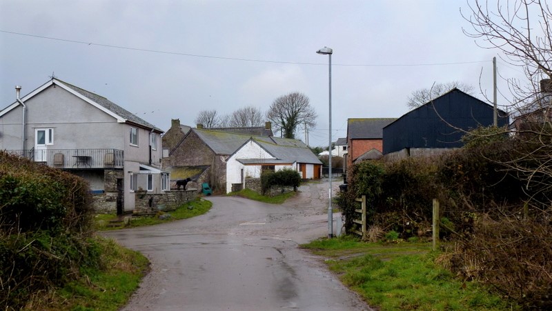
Groesffordd is a small village within the community of Llanfrynach in the county of Powys, Wales, and the historic county of Brecknockshire. The Welsh name signifies the 'crossroads'. It lies just to the east of Brecon straddling the northern boundary of the Brecon Beacons National Park. The village sits just to the north of the A40 road between Brecon and Crickhowell and north of the River Usk and Monmouthshire and Brecon Canal. The track of the former Brecon and Merthyr Railway runs through the village
The population of the whole community as taken at the 2011 census was 571.
1.7 km
Fforest Fawr Geopark is a Geopark in the Brecon Beacons National Park, south Wales. It is the first designated Geopark in Wales having gained membership of both the European Geoparks Network and the UNESCO-assisted Global Network of National Geoparks in October 2005. The Geopark aims to promote and support sustainable tourism and other opportunities to improve the economy of the area whilst safeguarding the natural environment. Its aims largely coincide with the statutory duties and purpose of the National Park within which it sits.

1.9 km
The Infantry Battle School, Brecon is a British Army training establishment at Dering Lines in Brecon, Wales.

2.4 km
Llanhamlach is a village in rural Powys, Wales about 4 miles east of Brecon, in the community of Llanfrynach. It had a railway junction called Talyllyn Junction.