


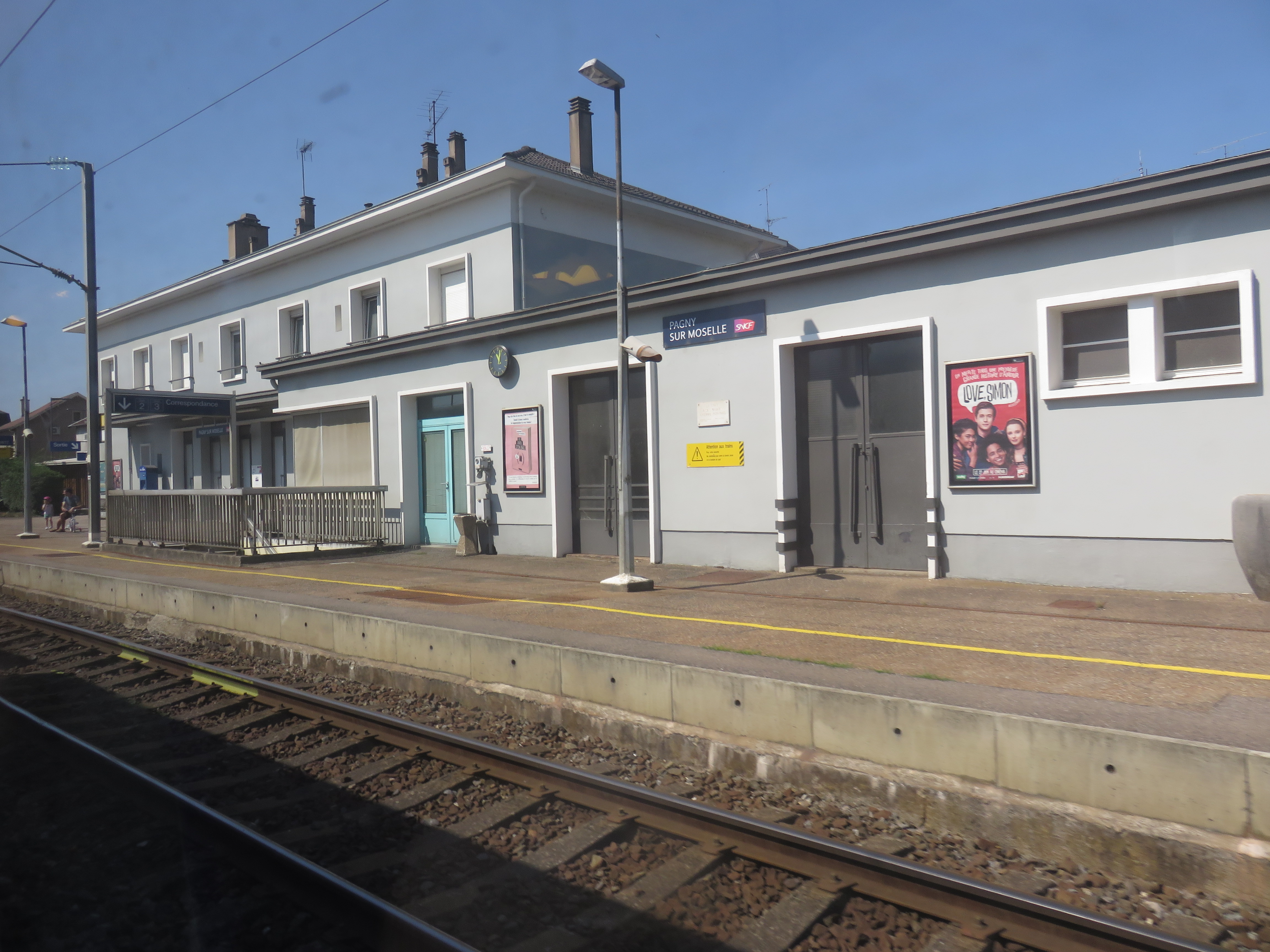
La gare de Pagny-sur-Moselle est une gare ferroviaire française de la ligne de Frouard à Novéant, située sur le territoire de la commune de Pagny-sur-Moselle dans le département de Meurthe-et-Moselle en région Grand Est. Elle est mise en service en 1850 par la Compagnie du chemin de fer de Paris à Strasbourg qui devient la Compagnie des chemins de fer de l'Est en 1854.
Location

316 m
Pagny-sur-Moselle is a commune in the Meurthe-et-Moselle department in north-eastern France.

2.1 km
Prény is a commune in the Meurthe-et-Moselle department in north-eastern France.

2.5 km
Lorraine is a historical area of Eastern France that today falls within the administrative region of Grand Est. It has its origins in the medieval kingdom of Lotharingia, named after Emperor Lothair I or King Lothair II, which came to be ruled by the Holy Roman Empire. This kingdom, which extended further north than the modern region, was divided into upper and lower duchies; the lower duchy lasted until the 12th century but the upper duchy persisted and developed into the Duchy of Lorraine. The Kingdom of France annexed the duchy, along with the Duchy of Bar, in 1766, which became the Lorraine and Barrois province.
From 1982 until January 2016, Lorraine was an administrative region of France. In 2016, under a reorganisation, it became part of the new region Grand Est. As a region in modern France, Lorraine consisted of the four departments Meurthe-et-Moselle, Meuse, Moselle and Vosges, containing 2,337 communes. Metz is the regional prefecture. The largest metropolitan area of Lorraine is Nancy, which was the seat of the duchy for centuries.
To the north, Lorraine borders Germany, Belgium, and Luxembourg. In French, its male inhabitants are called Lorrains and its female inhabitants are called Lorraines. The population of Lorraine is about 2,356,000.

2.5 km
The Battle of the Frontiers comprised battles fought along the eastern frontier of France and in southern Belgium, shortly after the outbreak of the First World War. The battles resolved the military strategies of the French Chief of Staff General Joseph Joffre with Plan XVII and an offensive adaptation of the German Aufmarsch II deployment plan by Helmuth von Moltke the Younger. The German concentration on the right flank, was to wheel through Belgium and attack the French in the rear.
The German advance was delayed by the movement of the French Fifth Army under General Charles Lanrezac towards the north-west to intercept them and the presence of the British Expeditionary Force on the French left. The Franco-British troops were driven back by the Germans, who were able to invade into northern France. French and British rearguard actions delayed the Germans, allowing the French time to transfer forces on the eastern frontier to the west to defend Paris, culminating in the First Battle of the Marne.

2.5 km
The Red Lands form a geographic region in southern and south-western Luxembourg. They are so called for their red iron-laden earth. The Red Lands roughly correspond with the southern part of the canton of Esch-sur-Alzette, along the border with France. Geologically, the Red Lands are sedimentary, mostly sandstones and conglomerates, formed in the Middle Jurassic epoch.
As one of the most prodigious iron-producing regions in Western Europe, the Red Lands developed a thriving local steel industry, which has now developed into ArcelorMittal, the world's largest producer of steel. Throughout the period of industrial decline, the Red Lands have diversified into production of construction materials, engineering services, and chemical manufacturing. The region is the most densely populated part of Luxembourg, with several of Luxembourg's largest towns and cities, including Bettembourg, Differdange, Dudelange, Esch-sur-Alzette, Kayl, and Schifflange, all of which have populations of above 10,000 people.
C'est une gare de la Société nationale des chemins de fer français (SNCF) desservie par des trains TER Grand Est.