


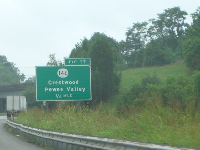
Crestwood is a home rule-class city in Oldham County, Kentucky, United States just outside Louisville's Northeast End. The population was 6,183 as of the 2020 census. CNN listed it as the 52nd best place to live in America in 2005. The area was first settled in the early 19th century, and the town was established as Beard's Station in 1857.
Location
560 m
South Oldham High School is located in Crestwood, Kentucky and serves pupils in 9th-12th grade. The school's mascot is the Dragon, which is green to reflect the school colors of green and gray, as well as navy and white for accent colors. South Oldham opened in 1989 because Oldham County High School had become overcrowded.

1.6 km
The Louisville Kentucky Temple is the 76th operating temple of the Church of Jesus Christ of Latter-day Saints. It is located in Pewee Valley, Kentucky with a mailing address of Crestwood, Kentucky. The adjacent communities are suburbs of Louisville. The intent to build the temple was announced on March 17, 1999, by the First Presidency in a letter to local church leaders. The temple is the church's first in Kentucky.
The temple has a single attached spire with a statue of the angel Moroni. This temple was designed by Mike Karpinski of the firm Firestone Jaros Mullin, using a traditional architectural style. A groundbreaking ceremony, to signify the beginning of construction, was held on May 29, 1999, conducted by John K. Carmack, a church general authority.

1.6 km
Park Lake is a neighborhood of the city of Crestwood in Oldham County, Kentucky, United States. The population was 537 at the 2000 census, at which time it was a separate city. Crestwood annexed Park Lake on May 1, 2006.
2.1 km
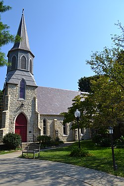
Saint James' Episcopal Church is a historic church in Pewee Valley, Kentucky. It was built in 1869 and added to the National Register of Historic Places in 1985.
Native Pewee Valley limestone was used to construct the building in a Gothic Revival style. It was completed in 1869 at a cost of $4,000. William Henry Redin was the architect. The design was based on sketches made by Kentucky Bishop Benjamin Bosworth Smith of a 12th-century country church during a trip to England. In 1908, the congregation began a project to add a rectory. They sold 14 acres from the original 20-acre site to raise funds for construction of the rectory.

2.2 km
The Ohio Valley is a sub region in Kentucky running 658 miles long including parts of 25 counties and across five regions of the state. Over 45% of Kentucky's population live in counties that border the Ohio River, although those counties are only 16% of the state's land area.
The Ohio Valley in Kentucky can be broken up into several categories:
In 1909, the town was renamed to Crestwood.