


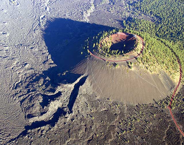
La Lava Butte est un des cônes volcaniques du cratère Newberry situé aux États-Unis, dans l'Oregon. Né d'une éruption volcanique vers 5070 av. J.-C., il a donné naissance à une importante coulée de lave qui n'est pas encore recolonisée par la végétation.
Gallery


Sponsored
Location
1 explorer visited this place

11 m
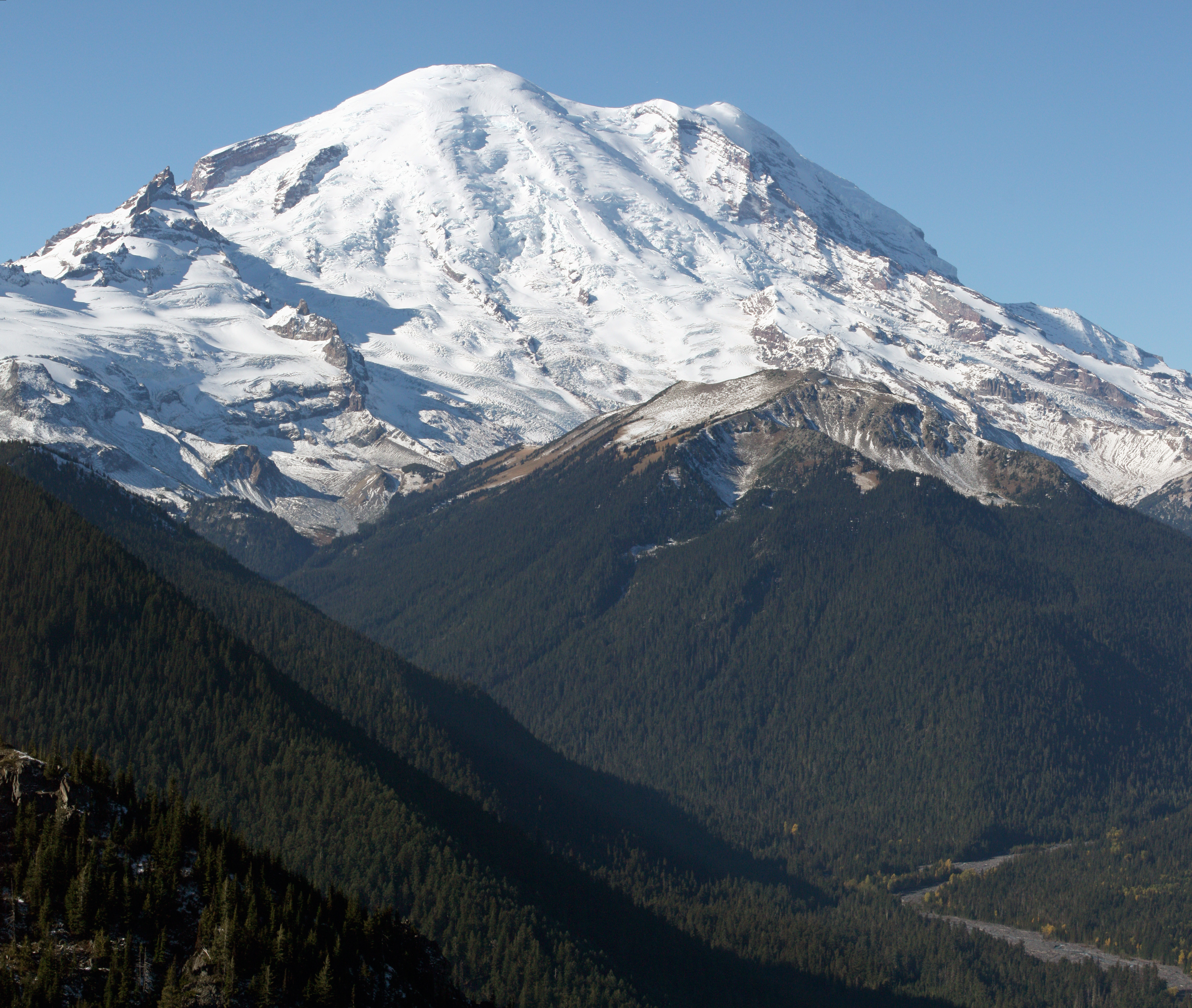
Lava Butte is a cinder cone in central Oregon, United States, just west of U.S. Route 97 between the towns of Bend, and Sunriver in Deschutes County. It is part of a system of small cinder cones on the northwest flank of Newberry Volcano, a massive shield volcano which rises to the southeast. The cinder cone is capped by a crater which extends about 60 feet deep beneath its south rim, and 160 feet deep from the 5,020-foot summit on its north side. Lava Butte is part of the Newberry National Volcanic Monument.

2.7 km
The Lava River Cave near Bend, Oregon, is part of the Newberry National Volcanic Monument, which is managed by the United States Forest Service. At 5,211 feet in length, the northwest section of the cave is the longest continuous lava tube in Oregon. While the cave's discovery in 1889 was officially credited to a pioneer hunter, the presence of obsidian flakes near the cave has led archaeologists to conclude that Native Americans knew about the cave long before settlers arrived in central Oregon.

5.0 km
Benham Falls are rapids of the Deschutes River located between the resort community of Sunriver and the town of Bend, Oregon, United States. With a pitch of 22.5°, they are rated Class 5 for watercraft, and are the largest falls on the upper Deschutes.
The falls were created by the eruption of nearby Lava Butte approximately 6,000 years ago, as the lava flow dammed the Deschutes, forming a lake known as Lake Benham. The river eventually flowed over the dam, draining the lake and thus forming Benham Falls. Around 1885, J. R. Benham attempted and failed to file a land claim near the falls, though they were later named for him.
Today, there are forest roads connecting Benham Falls to Lava Butte, Lava River Cave, and Sunriver Resort. A footbridge connects the forest road to an easy-to-navigate trail near the river and falls. The shady area has much wildlife and flowers. Because of this, the area also has mosquitoes. The United States Forest Service has established a few lookouts over the gorge for viewers. Hikers and mountain bikers who continue on this trail pass Dillon Falls, Lava Island Falls, and eventually, the city of Bend. Benham Falls is relatively easier to see compared to the falls downstream, because it is not surrounded by lava flow from Lava Butte, but surrounded by forest. Because of its location, it is also much more popular.
Benham Falls is also in the Deschutes National Forest and the Newberry National Volcanic Monument. Benham Falls Recreation Site and Benham Falls West Recreation Site are located nearby.

5.5 km
The High Desert Museum is located near Bend, Oregon, United States. Opened in 1982, it brings regional wildlife, culture, art and natural resources together to promote an understanding of natural and cultural heritage of North America's high desert country. The museum includes indoor and outdoor exhibits of wildlife in natural-like habitats along with traveling exhibits and living history demonstrations. The museum is accredited by the American Alliance of Museums. It is also a Smithsonian Affiliate institution.

6.3 km
Dillon Falls are rapids on the Deschutes River in the U.S. state of Oregon near Bend in the Deschutes National Forest.
Unlike the nearby Benham Falls, Dillon Falls are not widely documented because they are hard to see. Trails provide a somewhat better view of the falls. The falls were named after Leander Dillon, a nearby homesteader. He died in 1907.
Dillon Falls starts off as a dramatic 15-foot drop, then become a steep and violent Class-5 rapids with a hazardously positioned tree in the center before ending as class 2 and 3. Experienced rafters can run the falls before taking out at Lava Island Falls downstream.