


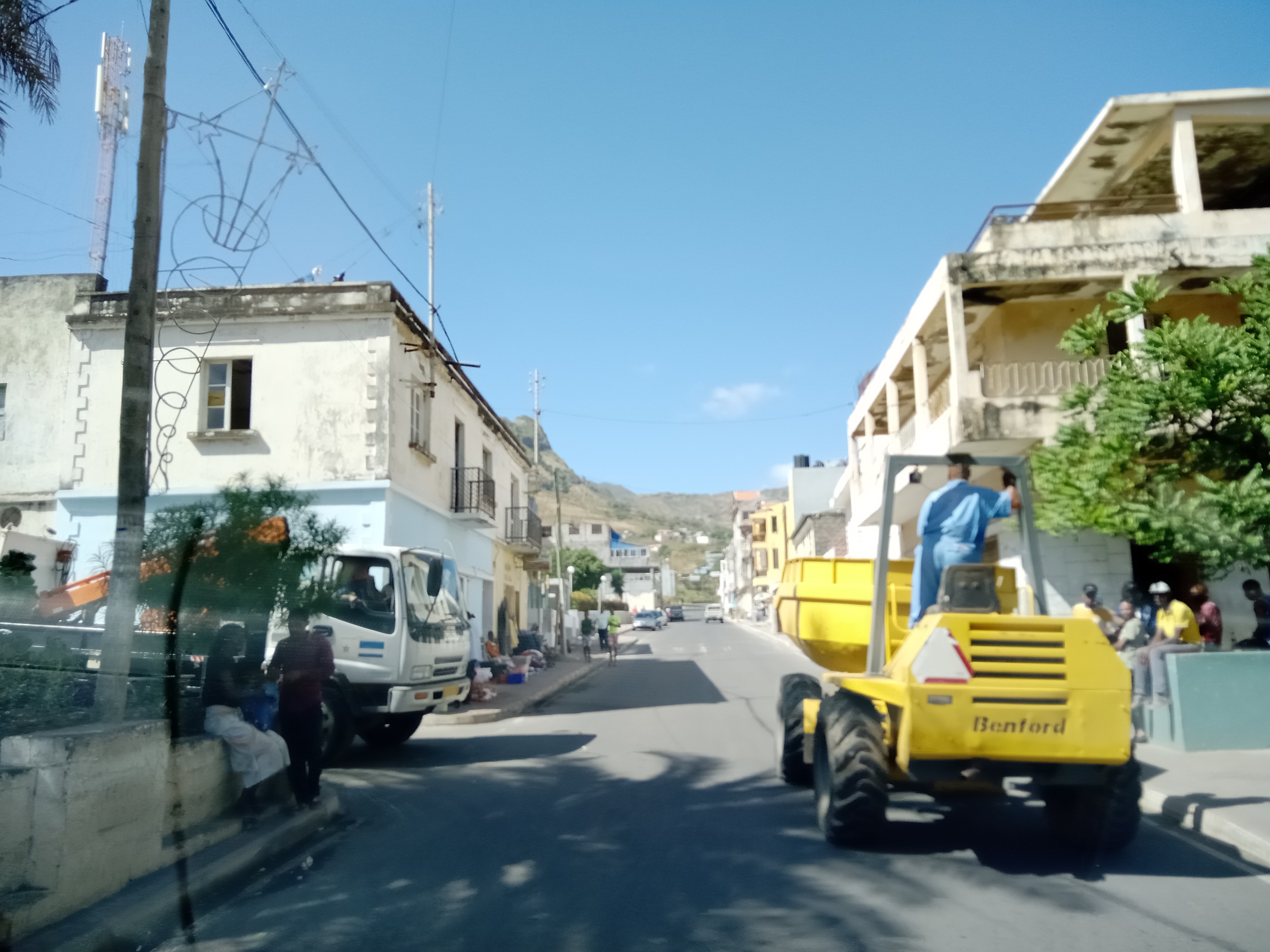
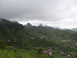
São Domingos (also: Várzea da Igreja) is a city in the central part of the island of Santiago, Cape Verde. In 2010, its population was 2,818. It is the seat of the São Domingos Municipality. It is situated 13 km southeast of Assomada and 13 km northwest of the capital Praia, along the national road from Praia to Assomada (EN1-ST01).
Location
1 explorer visited this place
1.9 km
Chaminé is a village in the southeastern part of the island of Santiago, Cape Verde in the Atlantic Ocean. In 2010 its population was 79. It is located 2 km east of São Domingos. It is part of the municipality of São Domingos. Singer Codé di Dona was native to Chaminé.

2.1 km
São Nicolau Tolentino is a freguesia of Cape Verde. It covers the western part of the municipality of São Domingos, on the island of Santiago.
2.1 km
Água de Gato is a settlement in the central part of the island of Santiago, Cape Verde. In 2010 its population was 957. It is situated at about 400 m elevation, 2 km northwest of São Domingos and 2 km east of Rui Vaz.

4.0 km
Rui Vaz is a settlement in the central part of the island of Santiago, Cape Verde. In 2010 its population was 1,078. It is situated at 809 m elevation, 2 km south of São Jorge dos Órgãos and 4 km west of São Domingos. It is part of the municipality of São Domingos.
4.4 km
Dacabalaio is a village in the southcentral part of the island of Santiago, Cape Verde. It is part of the municipality of São Domingos. It is 2 km south of Rui Vaz and 4 km southwest of the municipal seat São Domingos. In 2010 its population was 47. Its elevation is about 710 m.
The settlement appeared in the 1747 map by Jacques-Nicolas Bellin as St. Domingo.
Book your tour near
São Domingos, Cape Verde
Book Now
4.2
in partnership with
GetYourGuide.com