


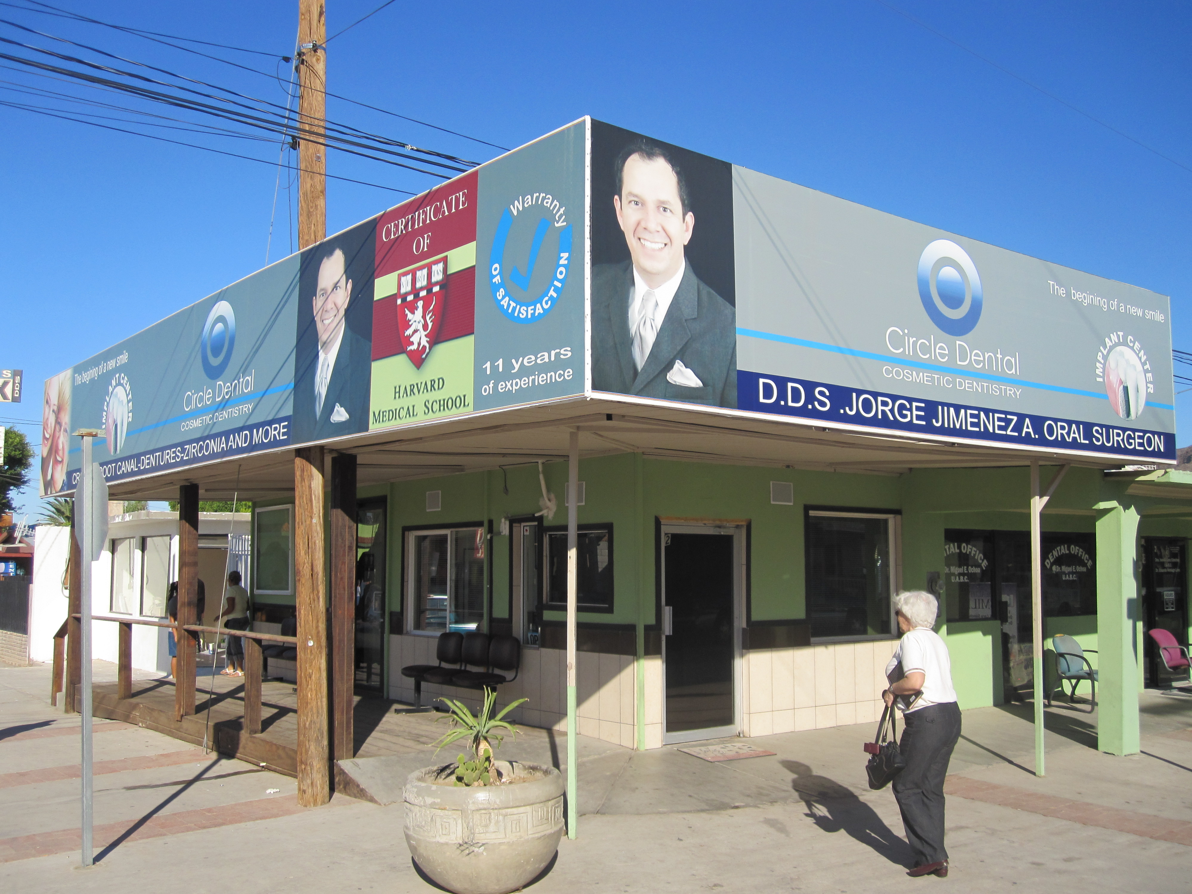
Los Algodones est un village de l'État de Basse-Californie au Mexique. C'est le point le plus au nord du pays, à la frontière avec les États-Unis. Son nom officiel est Vicente Guerrero. Los Algodones est communément appelé Molar City (« Ville Molaire ») en raison de centaines de dentistes ouverts aux Américains à la recherche de soins dentaires à prix abordable.
Gallery


Sponsored
Location
1 explorer visited this place
5.1 km
Donovan Estates is a census-designated place in Yuma County, Arizona, United States. The population was 1,508 at the 2010 census.
6.5 km
6.5 km
Cibola High School is a high school for the west side of Yuma, Arizona, United States. It was the third high school opened by the Yuma Union High School District upon its 1988 establishment. The name derives from the Seven Cities of Gold, also known as "Cibola."
16th Street Military Housing of Marine Corps Air Station Yuma is assigned to this high school.
6.8 km
Avenue B and C or B&C Colonia is a census-designated place and colonia in Yuma County, Arizona, United States. The population was 4,176 at the 2010 census. Areas that are part of Avenue B and C were first subdivided in the 1920s and 1930s. The colonia received a sewer system in 2011. It is the fifth most populous community in Yuma County and second most populous CDP.

6.8 km
Wall Lane is a census-designated place and colonia in Yuma County, in the U.S. state of Arizona. The population was 415 at the 2010 census.
Book your tour near
Los Algodones
Book Now
4.2
in partnership with
GetYourGuide.com