


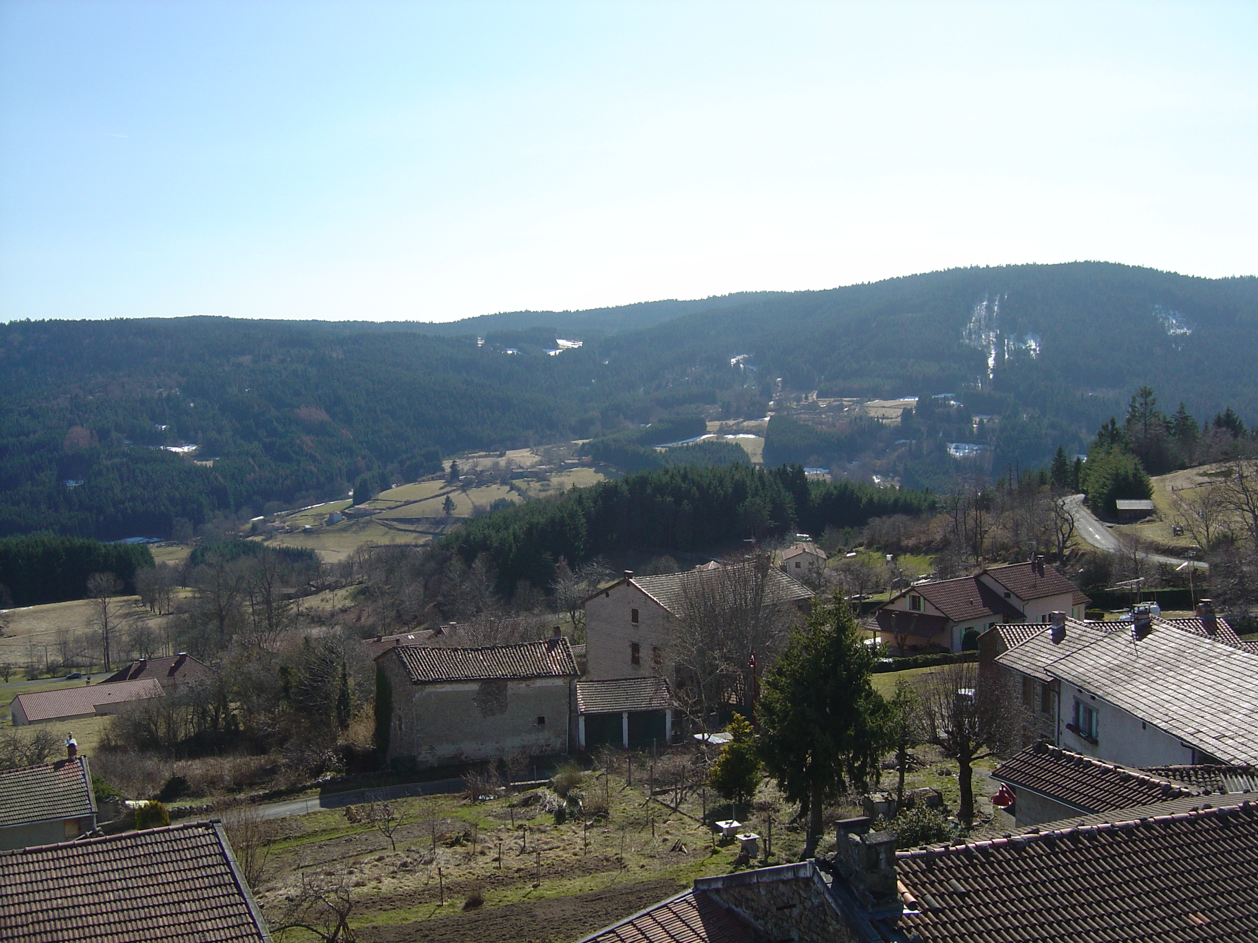
The Bois Noirs (French pronunciation: [bwa nwaʁ], lit. 'Black Woods') Forest is the highest point of the Livradois mountains, at an altitude of 1,215 meters. The absolute summit of the massif is also called Signal de Mons. Located in the Livradois-Forez Regional Natural Park and in the Puy-de-Dôme department, its summit, in the heart of a coniferous forest, does not allow for a panoramic view of the regional natural park.
Gallery

Sponsored
Location

3.9 km
Fournols is a commune in the Puy-de-Dôme department in Auvergne-Rhône-Alpes region in central France.

4.2 km
Le Monestier is a commune in the Puy-de-Dôme department in Auvergne in central France.

4.8 km
Champétières is a commune in the Puy-de-Dôme department in Auvergne-Rhône-Alpes in central France.

4.9 km
Saint-Amant-Roche-Savine is a commune in the Puy-de-Dôme department in Auvergne in central France. The nearest city is Ambert.

5.8 km
Saint-Éloy-la-Glacière is a commune in the Puy-de-Dôme department in Auvergne in central France. It is a member commune of the Parc naturel régional Livradois-Forez.
Book your tour near
Bois Noirs
Book Now
4.2
in partnership with
GetYourGuide.com