


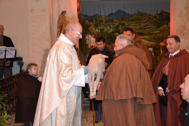
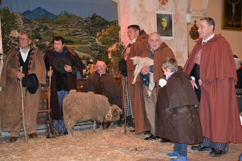
Raphèle-les-Arles est situé sur le territoire de la commune d'Arles entre Pont-de-Crau et Saint-Martin-de-Crau, dans les Bouches-du-Rhône (canton d'Arles-Est) au centre de la plaine de la Crau d’Arles, réputée pour la qualité de son foin, le foin de Crau qui bénéficie d’une AOP.
Gallery


Sponsored
Location
2 explorers visited this place

6.3 km
The Barbegal aqueduct and mills was a Roman watermill complex in the commune of Fontvieille, Bouches-du-Rhône, near the town of Arles, in southern France. The complex has been referred to as "the greatest known concentration of mechanical power in the ancient world" and the 16 overshot wheels are considered to be the largest ancient mill complex.
Another similar mill complex existed on the Janiculum in Rome, and there are suggestions that further such complexes existed at other major Roman sites, such as Amida.

6.4 km
Pont-de-Crau is a village of 3,200 inhabitants within the municipality of Arles, in the Bouches-du-Rhône department, France. It is named after the bridge/aqueduct that was built circa 1585 to carry the Canal de Craponne across the fetid swamps south east of the city.
7.0 km
The Kingdom of Burgundy, also known as the Kingdom of Arles, was a realm established in 933 by the unification of Lower Burgundy with the Upper Burgundy. As an independent kingdom, it was ruled by monarchs from the Elder House of Welf until 1032, when it was incorporated into the Holy Roman Empire, becoming one of the empire's three constituent realms, together with the Kingdom of Germany and the Kingdom of Italy. By the 13th century it went through the process of feudal fragmentation, and since the 14th century the imperial rule over the kingdom became mainly nominal, weakening further during the 15th century.
Its territory stretched from the Mediterranean Sea in the south to the High Rhine in the north, and from the Western Alps in the east to the Rhône basin in the west, thus encompassing almost all of the historical Burgundian lands, and roughly corresponding to the present-day French regions of Provence-Alpes-Côte d'Azur, Rhône-Alpes and Franche-Comté, as well as the region of Romandy in western Switzerland.
7.2 km
The Communauté d'agglomération Arles-Crau-Camargue-Montagnette is the communauté d'agglomération, an intercommunal structure, centred on the city of Arles. It is located in the Bouches-du-Rhône department, in the Provence-Alpes-Côte d'Azur region, southeastern France. It was created in December 2003. Its area is 1445.8 km2. Its population was 83,669 in 2018, of which 51,031 in Arles proper.

7.5 km
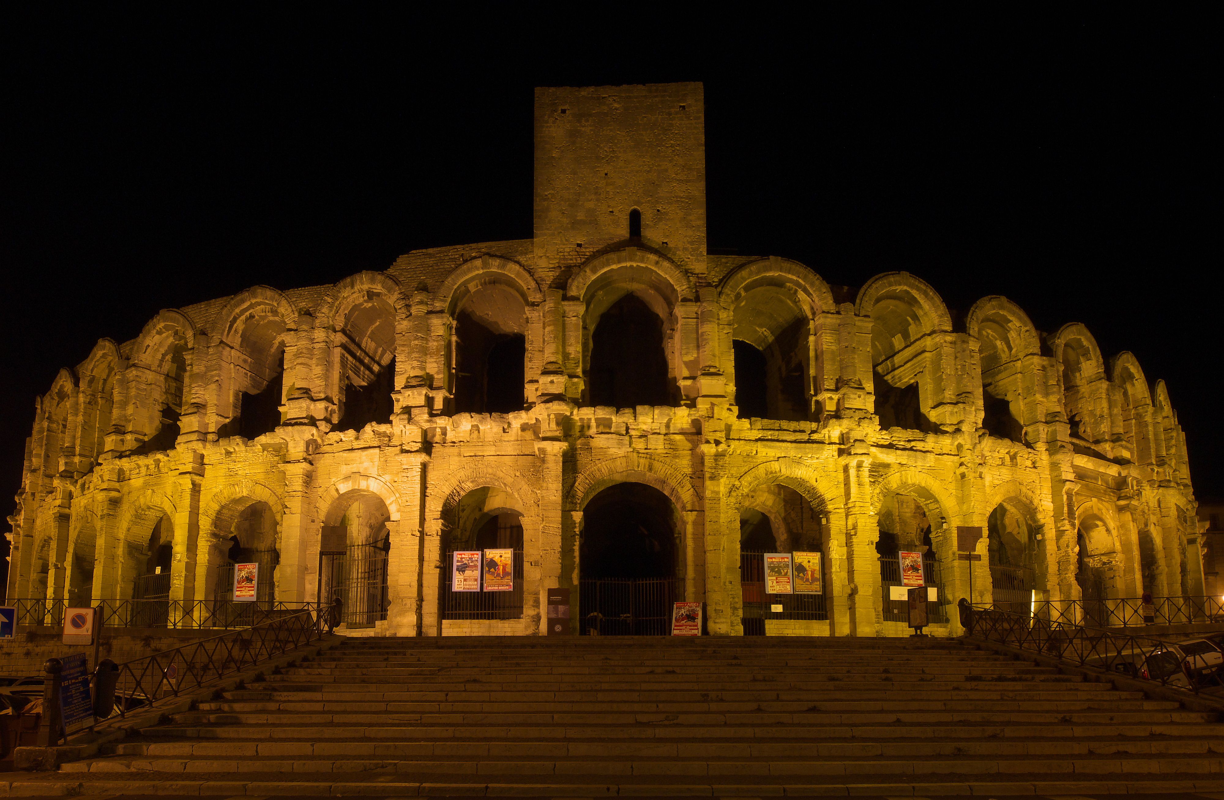
The Alyscamps is a large Roman necropolis, which is a short distance outside the walls of the old town of Arles, France. It was one of the most famous necropolises of the ancient world. The name comes from the Provençal Occitan word Aliscamps, which comes from the Latin Elisii Campi. They were famous in the Middle Ages and are referred to by Ariosto in Orlando Furioso and by Dante in the Inferno.
Roman cities traditionally forbade burials within the city limits. It was therefore common for the roads immediately outside a city to be lined with tombs and mausoleums; the Appian Way outside Rome provides a good example. The Alyscamps was Arles' main burial ground for nearly 1,500 years. It was the final segment of the Aurelian Way leading up to the city gates and was used as a burial ground for well-off citizens, whose memorials ranged from simple sarcophagi to elaborate monuments. In 1981, the Alyscamps was classified a UNESCO World Heritage Site, as part of the Arles, Roman and Romanesque Monuments group.
