


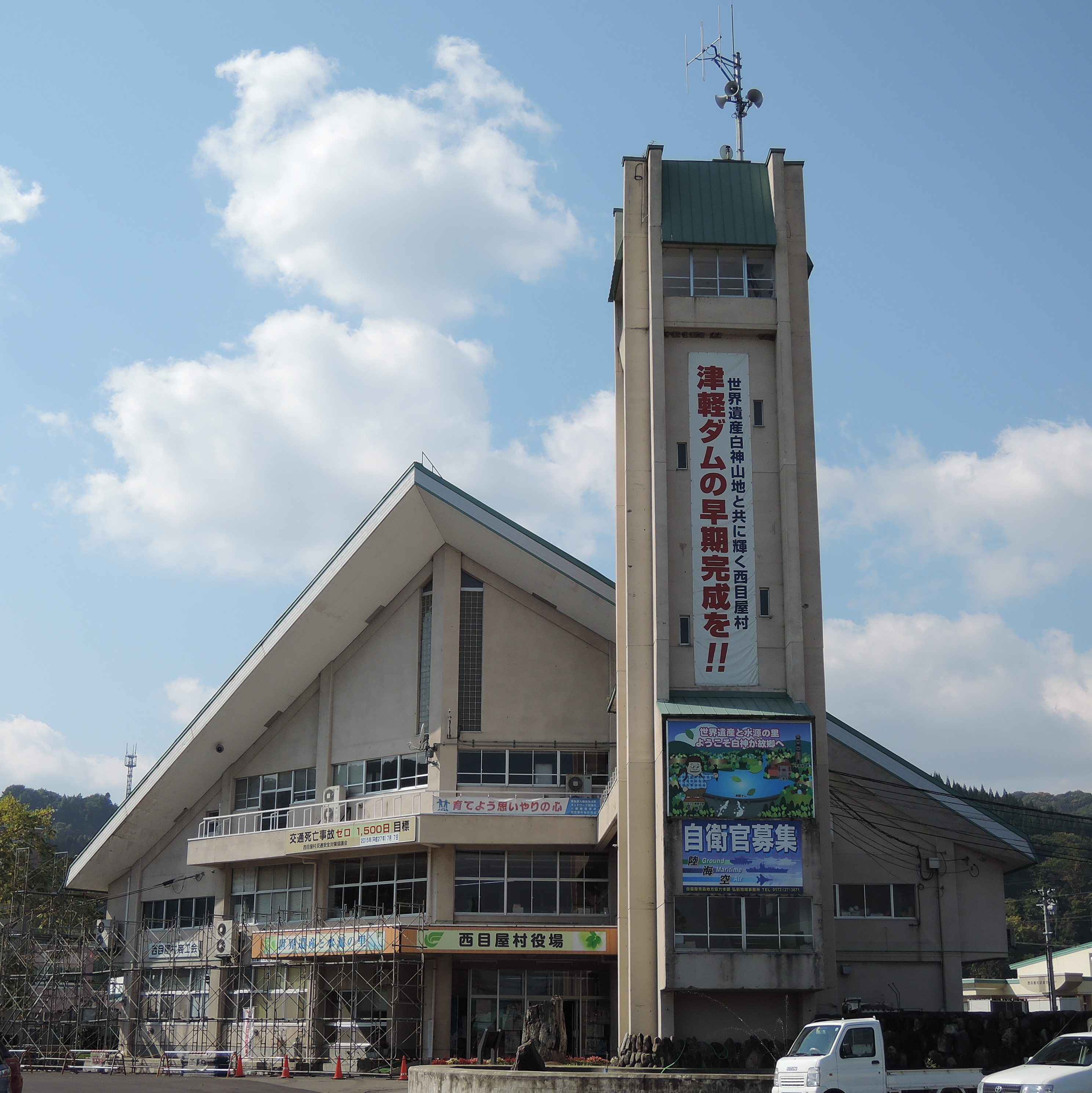
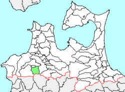
Nishimeya (西目屋村, Nishimeya-mura) est un village situé dans le district de Nakatsugaru (préfecture d'Aomori) au Japon.
Gallery

Sponsored
Location
6.3 km
Iwaki Kōgen Prefectural Natural Park is a Prefectural Natural Park in southwest Aomori Prefecture, Japan. Established in 1958, the park lies wholly within the municipality of Hirosaki.

7.3 km
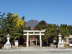
Iwakiyama Shrine is a Shintō shrine in the city of Hirosaki in Aomori Prefecture, Japan. It is the ichinomiya of former Tsugaru Domain. All of Mount Iwaki is considered to be a portion of the shrine.
The main festival of the shrine, the Oyama-sankei, features a parade from the shrine to the top of the mountain, and is held annually at the time of the autumn equinox. The pilgrims carry colorful banners and are accompanied by traditional drums and flutes

8.6 km
Mount Iwaki is a stratovolcano located in western Aomori Prefecture, Tohoku, Japan. It is also referred to as Tsugaru Fuji and less frequently, Okufuji due to its similar shape to Mount Fuji. With a summit elevation of 1,625 meters and a prominence of 1,362 meters it is the highest mountain in Aomori Prefecture.
Mount Iwaki is listed as one of the 100 Famous Japanese Mountains in a 1964 book by mountaineer and author Kyūya Fukada. The mountain and its surroundings are located within the borders of Tsugaru Quasi-National Park.
8.6 km
Sōma was a village located in Nakatsugaru District in southern Aomori Prefecture, Japan.

11.4 km
Iwaki was a town located in Nakatsugaru District in southern Aomori Prefecture, Japan.
Iwaki was located in south-western Tsugaru Peninsula, in the foothills of Mount Iwaki. The area was part of Hirosaki Domain during the Edo period. After the Meiji Restoration, Iwaki Village was created in 1889.
On February 27, 2006, Iwaki, along with the neighboring village of Sōma, was merged into the expanded city of Hirosaki, and thus no longer exists as an independent municipality.
At the time of its merger, Iwaki had an estimated population of 11,868 and a population density of 81.15 persons per km2. The total area was 146.25 km2. The town economy was dominated by agriculture and forestry.