


La réserve intégrale de Lauvitel est une réserve intégrale de France située en Isère, dans le parc national des Écrins. Créée en 1995, elle vise à assurer un haut niveau de protection du vallon en amont du Lauvitel, un lac de l'Oisans. Son accès est par conséquent strictement interdit à tout visiteur, exception faite du personnel du parc national.
Gallery

Sponsored
Location

2.3 km
Lac du Lauvitel is a lake in the commune of Le Bourg-d'Oisans in the Isère department of France. At an elevation of 1530 m, the lake has a surface area of 0.35 km2. It is situated in the Vénéon valley. It is the largest lake of the Écrins massif and forms one slope of the Oisans region. The lake is accessible by foot from the nearby town of la Danchère.
The southern part of the lake and valley are classified as part of a "réserve naturelle intégrale" since 1995. This classification aims to preserve such areas in their natural state as if entirely unaffected by human activity. This restricted area is forbidden to visitors and is instead reserved exclusively for scientific research, having been recognised in 2012 as an essential protected area for its scientific importance according to an assessment by the International Union for Conservation of Nature.

4.1 km
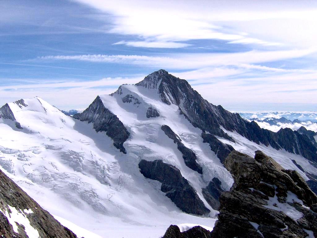
Le Rochail is a mountain in the French Alps. Located in the Massif des Écrins, the mountain has a summit elevation of 3,023 metres. The mountain is situated within the Écrins National Park, one of Europe's largest high-altitude reserves.

6.3 km
Vénosc is a former commune in the Isère department in southeastern France. On 1 January 2017, it was merged into the new commune Les Deux Alpes.
6.9 km
Le Périer is a former commune in the Isère department in southeastern France. On 1 January 2019, it was merged into the new commune Chantepérier.

7.8 km
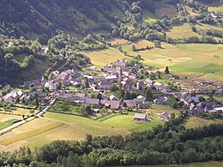
Villard-Notre-Dame is a commune in the Isère department in southeastern France.
Il est néanmoins possible de s'approcher de la réserve intégrale en se rendant sur la rive nord du Lauvitel qui offre un point de vue sur le fond du vallon ou encore aux sommets de la tête de la Muraillette ou de l'aiguille de Vénosc à l'est.