
 English
 Français
Drumclog
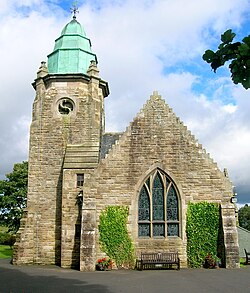
Drumclog is a small village in South Lanarkshire, Parish of Avendale and Drumclog, Scotland. The settlement is situated on the A71, between Caldermill and Priestland in East Ayrshire at an elevation of 197 metres (646 feet) and about five miles (eight kilometres) west of Strathaven.
Nearby Places View Menu

323 m
Drumclog railway station
Drumclog (NS 63889 38645) was a railway station on the Darvel and Strathaven Railway serving a rural area that included the village of Drumclog in South Lanarkshire, Scotland.

1.6 km
Battle of Drumclog
The Battle of Drumclog was fought on 1 June 1679, between a group of Covenanters and the forces of John Graham of Claverhouse, at Drumclog, in South Lanarkshire, Scotland.
1.6 km
Drumclog Moss
Drumclog Moss is a flat wilderness of broken bog and quagmire in Lanarkshire, Scotland.
The Covenanters defeated Claverhouse's dragoons at the site in the 1679 Battle of Drumclog.
The name Drumclog may have Brittonic origins. The first part of the name may be *drum, meaning "a back, a ridge", and the second *clog, "a rock, a crag, a steep cliff" (Welsh drum-clog), in place names meaning a standing stone or other stones of perceived significance. The second part of the name could also be the cognate Gaelic element clach.
2.3 km
Loch Gate
Loch Gate (NS 62389 37170), previously known as Loch Gait, was a freshwater loch, partly in the East Ayrshire Council Area and partly in South Lanarkshire, now mainly drained, near Darvel, lying in a glacial kettle hole, Parish of Galston, Scotland.