


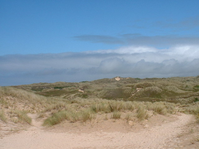
Towan (from Cornish: Tewyn, meaning "sand dune") is found in many placenames in Cornwall (Porthtowan for example). However, The Towans usually refers to the three-mile (5 km) stretch of coastal dunes which extends north-east from the estuary of the River Hayle (at 50.19256°N 5.43111°W / 50.19256; -5.43111) to Gwithian beach (at 50.22991°N 5.39145°W / 50.22991; -5.39145) with a midpoint near Upton (at 50.21053°N 5.40768°W / 50.21053; -5.40768).
Gallery


Sponsored
Location
1 explorer visited this place
1.3 km
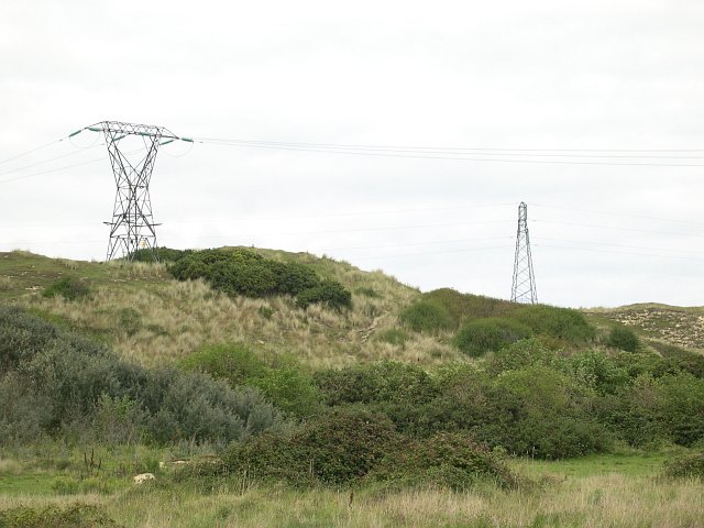
Loggans Moor is a nature reserve and Site of Special Scientific Interest, noted for its biological characteristics, in west Cornwall, England, UK. It is located 1 mile north-east of the town of Hayle, off the A30 road.
The 11-hectare nature reserve is owned by Cornwall Wildlife Trust.

1.7 km
St Felicitas and St Piala’s Church, Phillack is a Grade II* listed parish church in the Church of England Diocese of Truro in Phillack, Cornwall, England, UK.
1.7 km
Phillack is a village in the parish of Hayle, in west Cornwall, England. It is about one mile northeast of Hayle and half-a-mile inland from St Ives Bay on Cornwall's Atlantic Ocean coast. The village is separated from the sea by a range of high sand dunes known as The Towans.

1.7 km
The Bucket of Blood is a public house in Phillack, Hayle, Cornwall, owned by St Austell Brewery and currently tenanted by Nick and Tanya Swanson. It is thought to be named after an incident where the landlord brought up a bucket of blood from the building's well. The resulting investigation revealed the corpse of a murdered Customs Officer which had been dropped there and the name has been recognised as one of the quirkiest in the country. The earliest parts of the building date from the late 13th century or early 14th century, as it was originally built to accommodate the construction of the neighbouring Phillack church, which was completed in the early 14th C. The pub was built from rubble with a slate roof. It was designated Grade II listed status on 14 January 1988.

1.9 km
Gwinear–Gwithian is a coastal civil parish in west Cornwall, England, United Kingdom. It includes the villages of Connor Downs, Gwinear, Gwithian, Reawla and Rosewarne. The parish is situated approximately two miles east of Hayle two miles west of Camborne.
For the purposes of local government Gwinear–Gwithian has a parish council and elects councillors every four years. The principal local authority is Cornwall Council. The population of the parish was 3032 in the 2001 census. This included Fraddam and increased to 3,261 at the 2011 census. An electoral ward also exists with St. Erth added to the name. The population here in 2011 was 4,642.
The South West Coast Path crosses the towans.
Book your tour near
The Towans
Book Now
4.1
in partnership with
GetYourGuide.com