


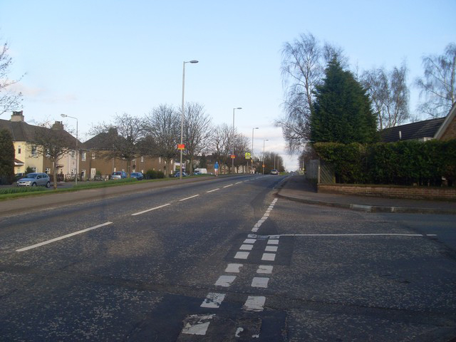
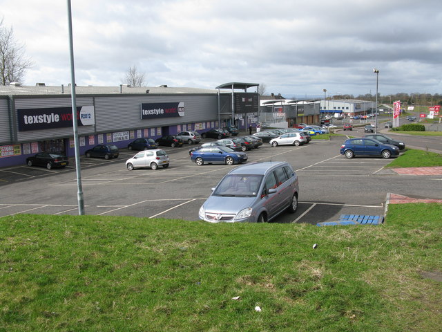
Birkenshaw is a village in North Lanarkshire, Scotland, to the east of Glasgow, and in proximity to Uddingston, Tannochside and Viewpark. Historically it is part of Lanarkshire. Largely a residential area, it is more widely known for the Birkenshaw Trading Estate (Rannoch Road) which contains a range of DIY, electrical and furniture stores.
Gallery
Sponsored
Location
1 explorer visited this place
630 m
Maryville railway station was opened in 1878 at Maryville, a small community in the Uddingston area to the south-east of Glasgow, Scotland on the old Glasgow, Bothwell, Hamilton and Coatbridge Railway between Shettleston and Hamilton. Clydeside and Bredisholm collieries were also served by the station.

785 m
The Rotten Calder is a river to the east of East Kilbride, South Lanarkshire, Scotland and along with the Rotten Burn it forms the southern and western boundaries of Blantyre.
It begins as the Calder Water at its source at Ardochrig, and is joined by the Cleughearn, Lea and Drumloch Burns around Langlands Moss which drain from the Eldrig Hills. This river has also been titled the 'West' or 'South Calder Water', although the latter title is shared by another river in Motherwell. Upon being joined by the Rotten Burn to the south-east of East Kilbride, the river becomes the Rotten Calder Water. 'Water' is a term used in Scotland to denote a small river.
The Rotten Calder runs through a gorge titled Calderglen, where it flows through East Kilbride Parish. This area of the gorge is under the jurisdiction of Calderglen Country Park, run by South Lanarkshire Council. Over 160 nature trails border the river on both banks, in addition to the forest which occupies the slopes, and ferns, mosses and liverworts on the rocky precipices. European otter, roe deer and European green woodpecker can be seen in the southern reaches of the park. Common buzzards can be seen hunting over open areas by the river and the grey heron, grey wagtail and white-throated dipper are common sights too. The river flows by the site of the former Calderwood Castle.
The gorge of the Rotten Calder Water was celebrated in books and poems for its grandeur and lush ivy-tied crags. Many traces of 18th- and 19th-century landscape additions can be traced in the park, as well as old mines, quarries, and religious sites. After passing under the General's Bridge at Stoneymeadow, the Water flows by Crossbasket Castle in an easterly direction, and on through the former estates of Greenhall and Milheugh where the valley is seen to give way to wide flood plains.
After Milheugh the river again regains its steep gorge and flows through scenery before flowing into the River Clyde near Daldowie. There are many waterfalls on the river, these are Millwell Linn, Flatt Linn, Torrance Linn, Black Linn, Trough Linn, Calderwood Linn, Crossbasket Linn, Horseshoe Falls, Old Horseshoe Linn, Small Falls, and Milheugh Falls.
East Kilbride Angling Club have the fishing rights and stock the river with brown trout occasionally but not every year. Permits are available from calderglen visitor centre and the post office at the town centre
The river flows via the north side of Blantyre and forms the eastern boundary of the Newton district of Cambuslang before joining the River Clyde opposite Daldowie.
The valley of the Rotten Calder includes hermitages, islets, caves, crannies, ancient markings, fountains, fairy wells, numerous waterfalls, over 200 nature trails, summerhouses, ruined castles, and steep cliffs.
In addition to Calderglen Park and Calderwood House, the river is referenced in other man-made features near its course, including the Calderwood residential area of East Kilbride, Calderglen High School in the same town, Calderglen House and the former Caldervale village near Blantyre, and Calderside Academy in the same town.
826 m
Uddingston West railway station served the town of Uddingston in South Lanarkshire on the Glasgow, Bothwell, Hamilton and Coatbridge Railway between Shettleston and Hamilton.

1.0 km
Tannochside is a settlement eight miles southeast of Glasgow, Scotland. Although historically considered part of Uddingston, it lies within a separate local authority area: Tannochside is contained within the boundaries of North Lanarkshire council, whereas the original village of Uddingston is in South Lanarkshire.
Tannochside is part of the Greater Glasgow conurbation. It is often debated as to where the borders lie between Tannochside and other nearby areas. One suggested border is Aitkenhead Road, a main road which splits housing areas adjacent to Scotmid and a local water tower.

1.3 km
Uddingston railway station serves the small town of Uddingston, South Lanarkshire, Scotland. ScotRail provides passenger services to this station on the Argyle Line and Shotts Line.
Book your tour near
Birkenshaw, North Lanarkshire
→
It is sometimes considered as part of Viewpark and is contained within the Greater Glasgow conurbation. It gained some notoriety after Peter Manuel, the "beast of Birkenshaw", committed some murders there.